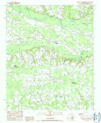
1990 Map of Prospect Crossroads
USGS Topo · Published 1990About this map
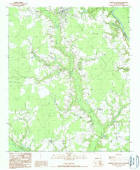
Lynches River meanders across this landscape on the border of Florence and Williamsburg counties, defining a region characterized by extensive wetlands and scattered rural junctions. The topography is dominated by large drainage systems including Big Swamp and Boggy Swamp, which feed into the primary river corridor. Small water bodies like Eaddy Big Lake and Spring Lake are tucked into the lowland areas near Macs Bay.
Find a feature on this map
17 named features on this map. Tap any name to fly to it.
Don’t see what you’re looking for? This feature index may not catch every label — zoom into the map to look around manually.
Map Details
Editions of this 1990 Prospect Crossroads Map
This is the sole edition of this map. No revisions or reprints were ever made.
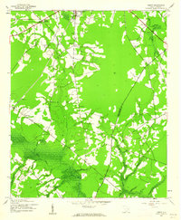
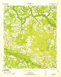
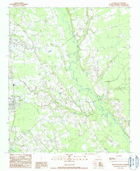
Other maps of this area
1943 · Henry
USGS Topo · 1:24,000

1946 · Hyman
USGS Topo · 1:62,500

1946 · Johnsonville
USGS Topo · 1:62,500
1946 · Indiantown
USGS Topo · 1:62,500

1949 · Georgetown
USGS Topo · 1:250,000

1967 · Georgetown
USGS Topo · 1:250,000

1974 · Georgetown
USGS Topo · 1:250,000

1986 · Kingstree
USGS Topo · 1:100,000
1990 · Scranton
USGS Topo · 1:24,000
1990 · Pamplico South
USGS Topo · 1:24,000