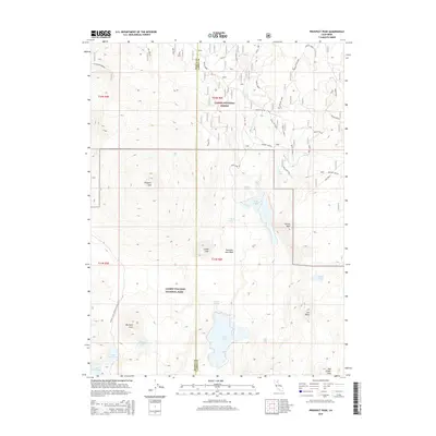
2015 Map of Prospect Peak
USGS Topo · Published 2015About this map
Lassen Volcanic National Park and the surrounding Lassen National Forest dominate this landscape, revealing a high-altitude wilderness defined by its recent volcanic activity. The central geography is shaped by the Fantastic Lava Beds, a stark field extending from the base of Cinder Cone. This geological formation created a series of natural impoundments, forming Butte Lake and Snag Lake. High summits such as Prospect Peak and Fairfield Peak provide dramatic vertical relief across the quadrangle.
Find a feature on this map
43 named features on this map. Tap any name to fly to it.
Don’t see what you’re looking for? This feature index may not catch every label — zoom into the map to look around manually.
Map Details
Editions of this 2015 Prospect Peak Map
This is the sole edition of this map. No revisions or reprints were ever made.
Other maps of this area

1886 · Lassen Peak
USGS Topo · 1:250,000

1892 · Lassen Peak
USGS Topo · 1:250,000

1894 · Lassen Peak
USGS Topo · 1:250,000

1939 · Halls Flat
USGS Topo · 1:125,000

1955 · Westwood
USGS Topo · 1:250,000

1956 · Mt. Harkness
USGS Topo · 1:62,500

1956 · Chester
USGS Topo · 1:62,500

1956 · Harvey Mtn
USGS Topo · 1:62,500

1957 · Prospect Peak
USGS Topo · 1:62,500

1958 · Westwood
USGS Topo · 1:250,000