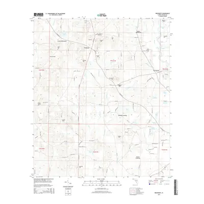
2015 Map of Prosperity
USGS Topo · Published 2015About this map
Arrant Settlement and Baker Settlement anchor this portion of Holmes County, reflecting a landscape defined by small clusters of community and family-named landmarks. The terrain is marked by a high density of water features, from the flowing Choctawhatchee River and its associated Cork Slough to numerous named ponds and springs such as Vortex Spring and Blue Spring. Local genealogy is preserved in the location of the Pleasant Ridge Cem near Pleasant Ridge, while the regional topography is punctuated by distinctive rises like Hudson Hill and Slaughter Hill. The network of local roads, including N Highway 81 and N Highway 181, connects these interior settlements to established points like Cerrogordo and Prosperity, illustrating the persistent rural character of the Florida Panhandle during the early twenty-first century.
Find a feature on this map
130 named features on this map. Tap any name to fly to it.
Don’t see what you’re looking for? This feature index may not catch every label — zoom into the map to look around manually.
Map Details
Editions of this 2015 Prosperity Map
This is the sole edition of this map. No revisions or reprints were ever made.
Other maps of this area

1935 · De Funiak Springs
USGS Topo · 1:48,000

1938 · De Funiak Springs
USGS Topo · 1:62,500

1948 · Ponce De Leon
USGS Topo · 1:24,000

1949 · Glendale
USGS Topo · 1:62,500

1949 · Hinsons Cross Roads
USGS Topo · 1:24,000

1949 · Hobbs Crossroads
USGS Topo · 1:24,000

1949 · Caryville
USGS Topo · 1:24,000

1950 · Hobbs Cross Roads
USGS Topo · 1:24,000

1950 · Prosperity
USGS Topo · 1:24,000

1950 · Ponce De Leon
USGS Topo · 1:24,000