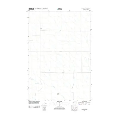
2011 Map of Prosser SE
USGS Topo · Published 2011About this map
Youngs Ranch and the open rangelands of Yakima County define this landscape as it appeared in the early 21st century. The map illustrates a region structured by large-scale agricultural and ranching interests, where a grid of rural routes such as King Rd and S Lincoln Rd bisects the terrain. Significant natural features include the seasonal drainage of Glade Creek, which winds through the southern portion of the quadrangle toward Coyote Canyon. Water access points like McKinley Springs were essential to the development of this area, as reflected by the long-established McKinley Springs Rd connecting the springs to the surrounding farmsteads. This survey provides a clear view of the intersection between topographical drainage patterns and the organized human infrastructure of the Horse Heaven Hills region.
Find a feature on this map
12 named features on this map. Tap any name to fly to it.
Don’t see what you’re looking for? This feature index may not catch every label — zoom into the map to look around manually.
Map Details
Editions of this 2011 Prosser SE Map
This is the sole edition of this map. No revisions or reprints were ever made.
Other maps of this area

1906 · Blalock Island
USGS Topo · 1:125,000

1908 · Blalock Island
USGS Topo · 1:125,000

1915 · Prosser
USGS Topo · 1:125,000

1917 · Prosser
USGS Topo · 1:125,000

1953 · Pendleton
USGS Topo · 1:250,000

1953 · Walla Walla
USGS Topo · 1:250,000

1955 · Prosser SW
USGS Topo · 1:24,000

1956 · Pendleton
USGS Topo · 1:250,000

1958 · Walla Walla
USGS Topo · 1:250,000
1962 · Phinny Hill
USGS Topo · 1:24,000