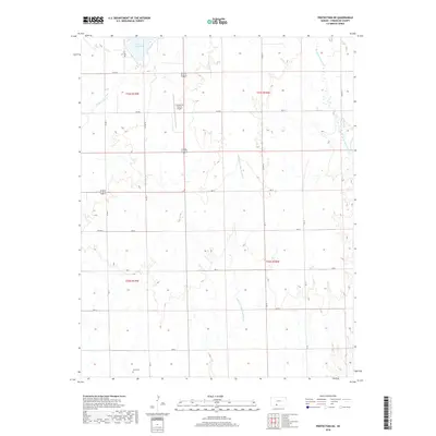
2018 Map of Protection NE
USGS Topo · Published 2018About this map
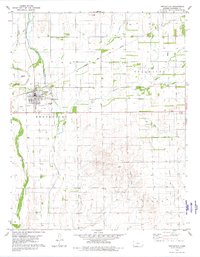
Lake Coldwater anchors the northern reaches of this Comanche County landscape, situated just north of the Comanche County Airport. The terrain is defined by the winding course of the Salt Fork Arkansas River, which meanders southward through the central portion of the quadrangle. This 2018 survey illustrates the rural character of the region, where a grid of section-line roads like Cm Rd 12 and CM RD 11 provides access to vast agricultural plots and scattered drainage systems.
Find a feature on this map
25 named features on this map. Tap any name to fly to it.
Don’t see what you’re looking for? This feature index may not catch every label — zoom into the map to look around manually.
Map Details
Editions of this 2018 Protection NE Map
This is the sole edition of this map. No revisions or reprints were ever made.
Other maps of this area

1892 · Coldwater
USGS Topo · 1:125,000

1955 · Pratt
USGS Topo · 1:250,000

1959 · Pratt
USGS Topo · 1:250,000

1979 · Coldwater
USGS Topo · 1:24,000

1979 · East Kiowa Creek South
USGS Topo · 1:24,000

1979 · Protection NE
USGS Topo · 1:24,000
1979 · Nescatunga Creek South
USGS Topo · 1:24,000
1980 · Nescatunga Creek North
USGS Topo · 1:24,000
1980 · Protection SW
USGS Topo · 1:24,000
1980 · Protection
USGS Topo · 1:24,000