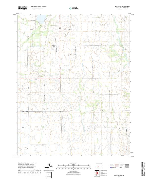
2022 Map of Protection NE
USGS Topo · Published 2022About this map
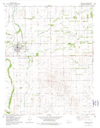
Coldwater sits at the northern edge of this Kansas landscape, where the high plains begin to break into the drainage systems of the southern borderlands. The terrain is defined by the winding course of the Salt Fork Arkansas River, which meanders through the central and southern sections, joined by tributaries such as Cavalry Cr and W Br Nescatunga Cr. This topography reflects the agricultural and pastoral character of Comanche County, where a rigid grid of section-line roads like CM Rd 12 and Ave N overlays the natural hydrology. Local history and community infrastructure are grounded by features such as the Avilla Cem in the south and the Comanche County Airport near the center, highlighting the region's connection to both early settlement and modern transportation. The map reveals how the rural landscape is partitioned into townships, specifically t32s r19w and t33s r18w, illustrating the long-standing land survey system that governs this part of the state.
Find a feature on this map
27 named features on this map. Tap any name to fly to it.
Don’t see what you’re looking for? This feature index may not catch every label — zoom into the map to look around manually.
Map Details
Editions of this 2022 Protection NE Map
This is the sole edition of this map. No revisions or reprints were ever made.
Other maps of this area

1892 · Coldwater
USGS Topo · 1:125,000

1955 · Pratt
USGS Topo · 1:250,000

1959 · Pratt
USGS Topo · 1:250,000

1979 · Coldwater
USGS Topo · 1:24,000

1979 · East Kiowa Creek South
USGS Topo · 1:24,000

1979 · Protection NE
USGS Topo · 1:24,000
1979 · Nescatunga Creek South
USGS Topo · 1:24,000
1980 · Nescatunga Creek North
USGS Topo · 1:24,000
1980 · Protection SW
USGS Topo · 1:24,000
1980 · Protection
USGS Topo · 1:24,000