
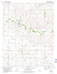
1979 Map of Protection NE
USGS Topo · Published 1980About this map
Lake Coldwater anchors the northern reaches of this Comanche County landscape, serving as a focal point for recreation alongside Coldwater Recreation Park and the Coldwater Country Club. The terrain transitions from these water-side amenities into the rural expanses of Coldwater and Avilla townships, characterized by the drainage of Cavalry Creek and Nescatunga Creek. An interesting detail for researchers is the inclusion of aerial-photograph-derived fence and field lines, offering a glimpse into the late-1970s agricultural boundaries.
Find a feature on this map
15 named features on this map. Tap any name to fly to it.
Don’t see what you’re looking for? This feature index may not catch every label — zoom into the map to look around manually.
Map Details
Editions of this 1979 Protection NE Map
This is the sole edition of this map. No revisions or reprints were ever made.
Other maps of this area

1892 · Coldwater
USGS Topo · 1:125,000

1955 · Pratt
USGS Topo · 1:250,000

1959 · Pratt
USGS Topo · 1:250,000

1979 · Coldwater
USGS Topo · 1:24,000

1979 · East Kiowa Creek South
USGS Topo · 1:24,000
1979 · Nescatunga Creek South
USGS Topo · 1:24,000
1980 · Nescatunga Creek North
USGS Topo · 1:24,000
1980 · Protection SW
USGS Topo · 1:24,000
1980 · Protection
USGS Topo · 1:24,000
1980 · Wilmore
USGS Topo · 1:24,000