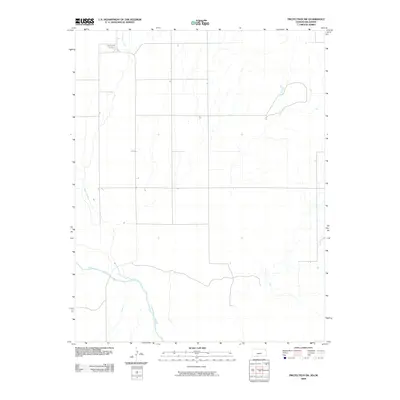
2009 Map of Protection SW
USGS Topo · Published 2009About this map
The Cimarron River winds through the southern portion of this landscape in Comanche County, where the high plains meet the riparian corridors of southwest Kansas. The area is defined by a sparse, grid-based road network that reflects the agricultural heritage of the region at the start of the 21st century. Near the northern border, the Mennonite Cemetery stands as a focal point for genealogical research, serving as a quiet marker of the community's ancestral ties. Water remains the primary geographical shaper here, with Cavalry Creek and Bluff Creek cutting through the terrain, providing natural drainage and defining the local topography away from the main river valley.
Find a feature on this map
4 named features on this map. Tap any name to fly to it.
Don’t see what you’re looking for? This feature index may not catch every label — zoom into the map to look around manually.
Map Details
Editions of this 2009 Protection SW Map
This is the sole edition of this map. No revisions or reprints were ever made.
Other maps of this area

1892 · Coldwater
USGS Topo · 1:125,000

1894 · Sitka
USGS Topo · 1:62,500

1896 · Ashland
USGS Topo · 1:125,000

1955 · Woodward
USGS Topo · 1:250,000

1955 · Pratt
USGS Topo · 1:250,000

1958 · Woodward
USGS Topo · 1:250,000

1959 · Pratt
USGS Topo · 1:250,000

1970 · Lookout
USGS Topo · 1:24,000

1970 · Selman NW
USGS Topo · 1:24,000

1970 · Buffalo NE
USGS Topo · 1:24,000