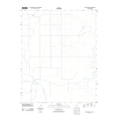
2012 Map of Protection SW
USGS Topo · Published 2012About this map
The Cimarron River courses through the southern portion of this Comanche County landscape, defining the local geography as it flows through the plains. To the north, the terrain is shaped by several drainages, most notably Bluff Cr and Cavalry Cr, which carve subtle paths across the prairie. The region is largely rural and agricultural, characterized by a sparse grid of country roads and open fields. A significant local landmark for genealogists and researchers is the Mennonite Cem located in the northwest, providing a specific point of historical and family significance within this quiet corner of Kansas. Evidence of modern infrastructure is limited to local routes such as N 1980 Rd, which provides access to the interior of this prairie environment just north of the Oklahoma border.
Find a feature on this map
5 named features on this map. Tap any name to fly to it.
Don’t see what you’re looking for? This feature index may not catch every label — zoom into the map to look around manually.
Map Details
Editions of this 2012 Protection SW Map
This is the sole edition of this map. No revisions or reprints were ever made.
Other maps of this area

1892 · Coldwater
USGS Topo · 1:125,000

1894 · Sitka
USGS Topo · 1:62,500

1896 · Ashland
USGS Topo · 1:125,000

1955 · Woodward
USGS Topo · 1:250,000

1955 · Pratt
USGS Topo · 1:250,000

1958 · Woodward
USGS Topo · 1:250,000

1959 · Pratt
USGS Topo · 1:250,000

1970 · Lookout
USGS Topo · 1:24,000

1970 · Selman NW
USGS Topo · 1:24,000

1970 · Buffalo NE
USGS Topo · 1:24,000