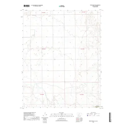
2018 Map of Protection SW
USGS Topo · Published 2018About this map
Cimarron River meanders across the southern portion of this Comanche County landscape, defining the local hydrology alongside Bluff Creek and Cavalry Creek. The area is characterized by a high-plains topography organized by a rigorous section-line road grid, including Ave S and Rd 5. This systematic land division supports a predominantly agricultural and pastoral environment typical of southwest Kansas. For genealogists and local historians, the presence of Mennonite Cem in the northern section provides a significant anchor for family research, marking the location of a specific community within the broader township. The confluence of these seasonal watercourses and established rural routes illustrates the enduring spatial organization of the region's ranching and farming heritage.
Find a feature on this map
23 named features on this map. Tap any name to fly to it.
Don’t see what you’re looking for? This feature index may not catch every label — zoom into the map to look around manually.
Map Details
Editions of this 2018 Protection SW Map
This is the sole edition of this map. No revisions or reprints were ever made.
Other maps of this area

1892 · Coldwater
USGS Topo · 1:125,000

1894 · Sitka
USGS Topo · 1:62,500

1896 · Ashland
USGS Topo · 1:125,000

1955 · Woodward
USGS Topo · 1:250,000

1955 · Pratt
USGS Topo · 1:250,000

1958 · Woodward
USGS Topo · 1:250,000

1959 · Pratt
USGS Topo · 1:250,000

1970 · Lookout
USGS Topo · 1:24,000

1970 · Selman NW
USGS Topo · 1:24,000

1970 · Buffalo NE
USGS Topo · 1:24,000