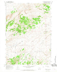
1964 Map of Protsmans Knob
USGS Topo · Published 1968About this map
Medicine Bow National Forest occupies the southern reaches of this landscape, where the prominent summit of Protsmans Knob overlooks a complex network of seasonal drainages and springs. The area is defined by the high-country transition between wooded slopes and open ranching terrain, exemplified by Duck Creek Flats and the elevated terrain of Rocky Ridge. Sparse human footprints are recorded through isolated sites like Miller Cabin and the settlement at Virden, connected by the winding Canyon Road. The map documents a rugged hydrography of intermittent flows including Little Deer Creek and South Cart Creek, alongside reliable water sources such as Alphin Spring and Mesa Spring. This 1964 field survey captures the Converse County backcountry before modern road expansions, preserving the location of early cattle-country landmarks and the essential spring-fed basins that supported the region's livestock economy.
Find a feature on this map
28 named features on this map. Tap any name to fly to it.
Don’t see what you’re looking for? This feature index may not catch every label — zoom into the map to look around manually.
Map Details
Editions of this 1964 Protsmans Knob Map
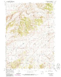
2 editions found
Other maps of this area

1949 · Parkerton
USGS Topo · 1:24,000

1949 · Glenrock
USGS Topo · 1:24,000

1950 · Lockett
USGS Topo · 1:24,000

1950 · Parkerton
USGS Topo · 1:24,000

1950 · Glenrock
USGS Topo · 1:24,000

1954 · Torrington
USGS Topo · 1:250,000

1955 · Casper
USGS Topo · 1:250,000

1958 · Casper
USGS Topo · 1:250,000

1958 · Torrington
USGS Topo · 1:250,000

1960 · Banner Mtn
USGS Topo · 1:24,000