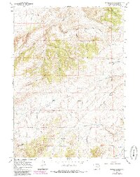
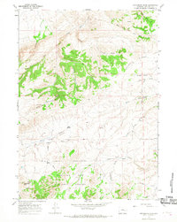
1964 Map of Protsmans Knob
USGS Topo · Published 1985About this map
Medicine Bow National Forest dominates the southern half of this landscape, where the high ground of Protsmans Knob rises above a complex network of seasonal drainages and springs. The map documents a rugged ranching and timber environment in the mid-1960s, punctuated by the Miller Cabin and an isolated Prospect in the northern hills. The drainage patterns of Deer Creek and its many tributaries, including Naguidai Creek and Little Deer Creek, carve through the terrain, defining the movement of early travel.
Find a feature on this map
33 named features on this map. Tap any name to fly to it.
Don’t see what you’re looking for? This feature index may not catch every label — zoom into the map to look around manually.
Map Details
Editions of this 1964 Protsmans Knob Map
2 editions found
Other maps of this area

1949 · Parkerton
USGS Topo · 1:24,000

1949 · Glenrock
USGS Topo · 1:24,000

1950 · Lockett
USGS Topo · 1:24,000

1950 · Parkerton
USGS Topo · 1:24,000

1950 · Glenrock
USGS Topo · 1:24,000

1954 · Torrington
USGS Topo · 1:250,000

1955 · Casper
USGS Topo · 1:250,000

1958 · Casper
USGS Topo · 1:250,000

1958 · Torrington
USGS Topo · 1:250,000

1960 · Banner Mtn
USGS Topo · 1:24,000