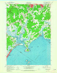
1957 Map of Prouts Neck
USGS Topo · Published 1965About this map
Prouts Neck anchors this mid-century coastal survey, showing a landscape defined by saltwater marshes and the tidal reaches of the Nonesuch River and Spurwink River. The map captures a period of growth for the Scarborough region, where established coastal settlements like Higgins Beach and Pine Point contrast with the inland residential developments of Sunset Park and Broadview Park. The infrastructure of the era is evident in the Maine Turnpike corridor and the Portland Terminal rail lines, while several Borrow Pits and Sand Gravel and Loam Pits suggest the material demands of post-war suburban expansion near South Portland. Notable for genealogists are the numerous local burial grounds, including Highland Memorial Garden and the Black Point Cemetery. The coastline is densely detailed, marking landmarks from the Port O' Maine Airport to the offshore reaches of Stratton Island and Richmond Island Harbor.
Find a feature on this map
113 named features on this map. Tap any name to fly to it.
Don’t see what you’re looking for? This feature index may not catch every label — zoom into the map to look around manually.
Map Details
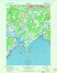
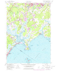
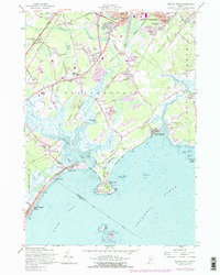
Editions of this 1957 Prouts Neck Map
4 editions found
Other maps of this area

1891 · Portland
USGS Topo · 1:62,500

1891 · Biddeford
USGS Topo · 1:62,500

1893 · Biddeford
USGS Topo · 1:62,500

1893 · Portland
USGS Topo · 1:62,500

1893 · Casco Bay
USGS Topo · 1:62,500

1914 · Portland
USGS Topo · 1:48,000

1914 · Casco Bay
USGS Topo · 1:48,000

1916 · Portland
USGS Topo · 1:62,500

1916 · Casco Bay
USGS Topo · 1:62,500

1916 · Portland And Vicinity
USGS Topo · 1:62,500