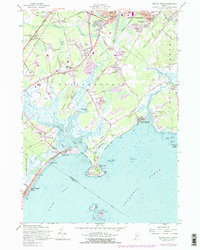
1957 Map of Prouts Neck
USGS Topo · Published 1978About this map
Rigby Yards and the Portland Terminal Railroad dominate the northern landscape of this coastal survey, highlighting the industrial importance of the region during the mid-20th century. The intricate shoreline of Saco Bay is defined by tidal inlets like Nonesuch Cove and the winding Libby River, which frame the prominent peninsula of Prouts Neck. Further inland, the map captures the transition from working agricultural lands and sand pits to suburban developments like Broadview Park and Sunset Park.
Find a feature on this map
83 named features on this map. Tap any name to fly to it.
Don’t see what you’re looking for? This feature index may not catch every label — zoom into the map to look around manually.
Map Details
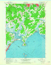
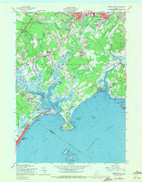
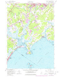
Editions of this 1957 Prouts Neck Map
4 editions found
Other maps of this area

1891 · Portland
USGS Topo · 1:62,500

1891 · Biddeford
USGS Topo · 1:62,500

1893 · Biddeford
USGS Topo · 1:62,500

1893 · Portland
USGS Topo · 1:62,500

1893 · Casco Bay
USGS Topo · 1:62,500

1914 · Portland
USGS Topo · 1:48,000

1914 · Casco Bay
USGS Topo · 1:48,000

1916 · Portland
USGS Topo · 1:62,500

1916 · Casco Bay
USGS Topo · 1:62,500

1916 · Portland And Vicinity
USGS Topo · 1:62,500