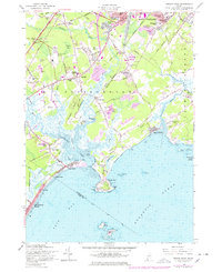
1957 Map of Prouts Neck
USGS Topo · Published 1978About this map
Prouts Neck and the surrounding coastline of Scarborough are defined by a complex network of salt marshes and tidal estuaries where the Nonesuch River and Spurwink River meet the Atlantic Ocean. During this mid-century period, the area maintains a balance between its traditional maritime character and emerging post-war development. The landscape is punctuated by numerous family-named landmarks and local institutions, including the Bessy Sch and Township High Sch near Oak Hill.
Find a feature on this map
94 named features on this map. Tap any name to fly to it.
Don’t see what you’re looking for? This feature index may not catch every label — zoom into the map to look around manually.
Map Details
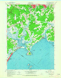
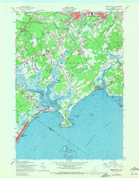
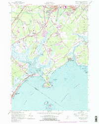
Editions of this 1957 Prouts Neck Map
4 editions found
Other maps of this area

1891 · Portland
USGS Topo · 1:62,500

1891 · Biddeford
USGS Topo · 1:62,500

1893 · Biddeford
USGS Topo · 1:62,500

1893 · Portland
USGS Topo · 1:62,500

1893 · Casco Bay
USGS Topo · 1:62,500

1914 · Portland
USGS Topo · 1:48,000

1914 · Casco Bay
USGS Topo · 1:48,000

1916 · Portland
USGS Topo · 1:62,500

1916 · Casco Bay
USGS Topo · 1:62,500

1916 · Portland And Vicinity
USGS Topo · 1:62,500