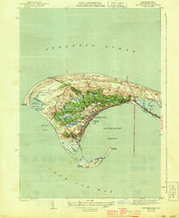
1944 Map of Provincetown
USGS Topo · Published 1944About this map
Provincetown sits at the curling terminus of the cape, a landscape defined by its maritime infrastructure and shifting sands during the early 1940s. The village is densely clustered around the Municipal Wharf, while the coastal perimeter is guarded by a network of signals including the Race Point Lighthouse, Long Point Lighthouse, and Wood End Lighthouse. The presence of the Race Point C G Sta and Wood End C G Sta underscores the area's strategic importance for coastal defense and navigation during the war years.
Find a feature on this map
34 named features on this map. Tap any name to fly to it.
Don’t see what you’re looking for? This feature index may not catch every label — zoom into the map to look around manually.
Map Details
Editions of this 1944 Provincetown Map
3 editions found
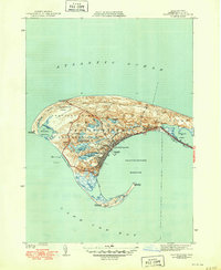
Other maps of this area

1887 · Wellfleet
USGS Topo · 1:62,500

1887 · Provincetown
USGS Topo · 1:62,500

1889 · Provincetown
USGS Topo · 1:62,500

1889 · Wellfleet
USGS Topo · 1:62,500

1893 · Wellfleet
USGS Topo · 1:62,500

1898 · Provincetown
USGS Topo · 1:62,500

1942 · Cape Cod Bay
USGS Topo · 1:125,000

1944 · Provincetown
USGS Topo · 1:31,680
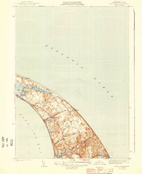
1944 · North Truro
USGS Topo · 1:31,680

1947 · Providence
USGS Topo · 1:250,000