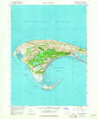
1958 Map of Provincetown
USGS Topo · Published 1965About this map
Provincetown sits at the northern tip of Cape Cod, serving as a vital maritime hub where Provincetown Harbor meets the Atlantic Ocean. The landscape is dominated by the Province Lands, a protected state reservation comprising complex dune systems and numerous freshwater bodies like Clapps Pond and Pasture Pond. This mid-century survey shows the area's development, including the Provincetown Airport and the coastal reach of the New York New Haven and Hartford rail line. Significant navigation aids mark the shoreline, from the Race Point Lighthouse in the north to the Wood End Lighthouse and Long Point at the harbor entrance. Locally significant landmarks such as the Pilgrim Monument and the Shank Painter Cemetery reflect the long-standing history of this fishing and seafaring community, while the Pilgrim Highway provides a terrestrial link to the mainland.
Find a feature on this map
45 named features on this map. Tap any name to fly to it.
Don’t see what you’re looking for? This feature index may not catch every label — zoom into the map to look around manually.
Map Details
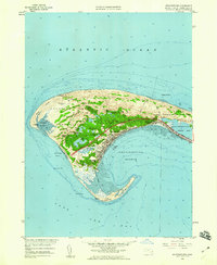
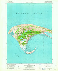
Editions of this 1958 Provincetown Map
3 editions found
Other maps of this area

1887 · Wellfleet
USGS Topo · 1:62,500

1887 · Provincetown
USGS Topo · 1:62,500

1889 · Provincetown
USGS Topo · 1:62,500

1889 · Wellfleet
USGS Topo · 1:62,500

1893 · Wellfleet
USGS Topo · 1:62,500

1898 · Provincetown
USGS Topo · 1:62,500

1942 · Cape Cod Bay
USGS Topo · 1:125,000

1944 · Provincetown
USGS Topo · 1:31,680
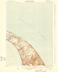
1944 · North Truro
USGS Topo · 1:31,680

1947 · Providence
USGS Topo · 1:250,000