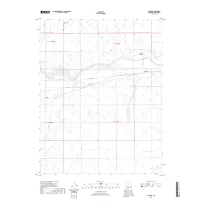
2019 Map of Prowers
USGS Topo · Published 2019About this map
The Arkansas River forms the central axis of this landscape, its waters heavily diverted by a sophisticated network of historical irrigation infrastructure. Features such as the Fort Bent Canal, Keesee Canal, and the Amity Canal illustrate the vital role of water management in this High Plains environment. Near the river's northern banks, the site of Old Fort Lyons stands as a significant historical marker of early settlement and military presence.
Find a feature on this map
34 named features on this map. Tap any name to fly to it.
Don’t see what you’re looking for? This feature index may not catch every label — zoom into the map to look around manually.
Map Details
Editions of this 2019 Prowers Map
This is the sole edition of this map. No revisions or reprints were ever made.
Other maps of this area

1892 · Lamar
USGS Topo · 1:125,000

1892 · Two Butte
USGS Topo · 1:125,000

1893 · Two Butte
USGS Topo · 1:125,000

1952 · Lamar West
USGS Topo · 1:24,000

1953 · Hasty
USGS Topo · 1:24,000

1953 · Prowers
USGS Topo · 1:24,000

1954 · Lamar
USGS Topo · 1:250,000

1955 · McClave
USGS Topo · 1:24,000

1955 · Lubers
USGS Topo · 1:24,000

1955 · Wiley
USGS Topo · 1:24,000