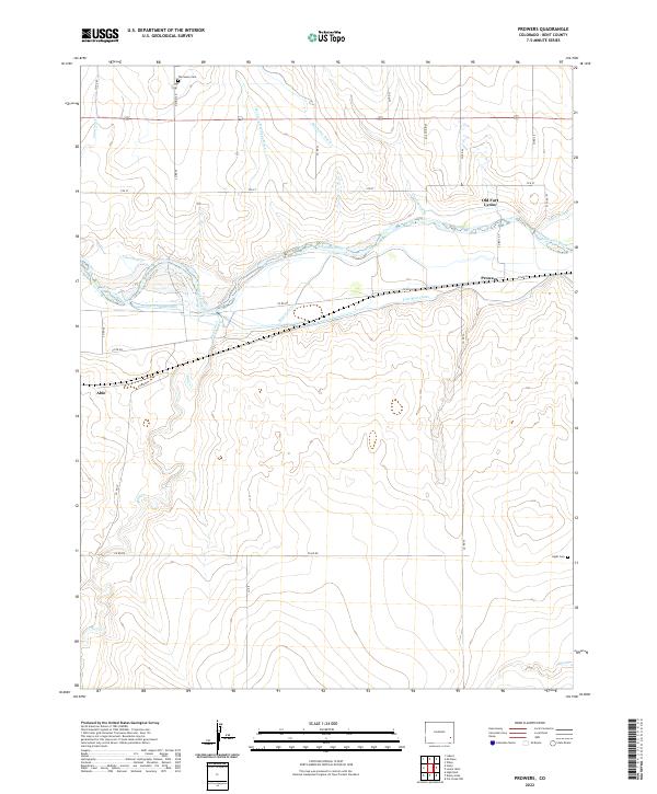
2022 Map of Prowers
USGS Topo · Published 2022About this map
Old Fort Lyons stands as a landmark of frontier history along the north bank of the Arkansas River, anchoring a landscape defined by an intricate network of irrigation and drainage. The settlement of Prowers and the small station at Able are linked by rural routes like Co RD 30 and Co RD HH, which cross a terrain carved by Graveyard Cr and Mud Cr. This detailed survey reveals the intensive water management required for agriculture in Bent County, showcasing an array of waterways including the Amity Canal, Fort Bent Canal, Keesee Canal, and the Sunflower Ditch. For those researching local heritage, the map identifies small burial sites such as The Home Cem and Hight Cem, providing essential clues for genealogical study in this river valley region.
Find a feature on this map
33 named features on this map. Tap any name to fly to it.
Don’t see what you’re looking for? This feature index may not catch every label — zoom into the map to look around manually.
Map Details
Editions of this 2022 Prowers Map
This is the sole edition of this map. No revisions or reprints were ever made.
Other maps of this area

1892 · Lamar
USGS Topo · 1:125,000

1892 · Two Butte
USGS Topo · 1:125,000

1893 · Two Butte
USGS Topo · 1:125,000

1952 · Lamar West
USGS Topo · 1:24,000

1953 · Hasty
USGS Topo · 1:24,000

1953 · Prowers
USGS Topo · 1:24,000

1954 · Lamar
USGS Topo · 1:250,000

1955 · McClave
USGS Topo · 1:24,000

1955 · Lubers
USGS Topo · 1:24,000

1955 · Wiley
USGS Topo · 1:24,000