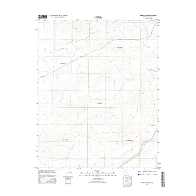
2013 Map of Pueblo Bonito NW
USGS Topo · Published 2013About this map
Ah-shi-sle-pah Wash dominates the drainage patterns across this arid landscape in the Eastern Navajo Agency, winding through the southeastern and central portions of the quadrangle. The terrain is characterized by complex erosional features, including the prominent Tsun-Je-Zhin, where the topography reflects the intricate network of seasonal watercourses like Coal Cr and Kimbeto Wash.
Find a feature on this map
12 named features on this map. Tap any name to fly to it.
Don’t see what you’re looking for? This feature index may not catch every label — zoom into the map to look around manually.
Map Details
Editions of this 2013 Pueblo Bonito NW Map
This is the sole edition of this map. No revisions or reprints were ever made.
Other maps of this area

1889 · Largo
USGS Topo · 1:250,000

1889 · Chaco
USGS Topo · 1:250,000

1892 · Chaco
USGS Topo · 1:250,000

1895 · Largo
USGS Topo · 1:250,000

1954 · Shiprock
USGS Topo · 1:250,000

1954 · Aztec
USGS Topo · 1:250,000

1958 · Shiprock
USGS Topo · 1:250,000

1958 · Aztec
USGS Topo · 1:250,000

1959 · Shiprock
USGS Topo · 1:250,000

1962 · Aztec
USGS Topo · 1:250,000