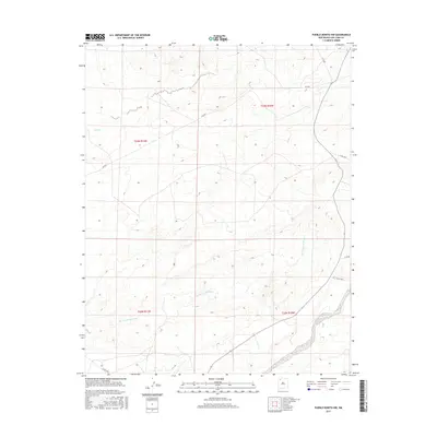
2017 Map of Pueblo Bonito NW
USGS Topo · Published 2017About this map
Ah-shi-sle-pah Wash flows across this high desert landscape within the Eastern Navajo Agency, carving a distinct path through the townships of t22n r11w and t22n r10w. This 2017 survey reveals an arid terrain defined by intermittent watercourses like Coal Cr and the Kim-me-ni-oli Wash. Human presence is marked primarily by a network of local roads including Co Rd 7855 and Rd 7650, which provide access through the open country. The topographical detail showcases the complex drainage patterns of the wash systems, which are central to the geography of this part of New Mexico. The map illustrates a remote landscape where the natural hydrology and basic transportation routes represent the primary features of the land.
Find a feature on this map
13 named features on this map. Tap any name to fly to it.
Don’t see what you’re looking for? This feature index may not catch every label — zoom into the map to look around manually.
Map Details
Editions of this 2017 Pueblo Bonito NW Map
This is the sole edition of this map. No revisions or reprints were ever made.
Other maps of this area

1889 · Largo
USGS Topo · 1:250,000

1889 · Chaco
USGS Topo · 1:250,000

1892 · Chaco
USGS Topo · 1:250,000

1895 · Largo
USGS Topo · 1:250,000

1954 · Shiprock
USGS Topo · 1:250,000

1954 · Aztec
USGS Topo · 1:250,000

1958 · Shiprock
USGS Topo · 1:250,000

1958 · Aztec
USGS Topo · 1:250,000

1959 · Shiprock
USGS Topo · 1:250,000

1962 · Aztec
USGS Topo · 1:250,000