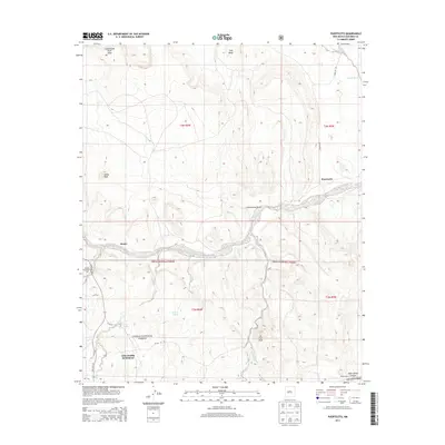
2013 Map of Puertecito
USGS Topo · Published 2013About this map
The Rio Salado cuts through this high-desert landscape of Socorro County, where high mesas like Cottonwood Draw Mesa and Gag Mesa define the northern horizon. The area is characterized by scattered rural settlements and ranching outposts, including Alamo, Puertecito, and the John Padilla Settlement. These small communities are connected by a network of rural routes such as State Rte 169 and Buricito Rd.
Find a feature on this map
30 named features on this map. Tap any name to fly to it.
Don’t see what you’re looking for? This feature index may not catch every label — zoom into the map to look around manually.
Map Details
Editions of this 2013 Puertecito Map
This is the sole edition of this map. No revisions or reprints were ever made.
Other maps of this area

1917 · Cerro Verde
USGS Topo · 1:125,000

1917 · Broom Mountain
USGS Topo · 1:125,000

1954 · Socorro
USGS Topo · 1:250,000

1958 · Socorro
USGS Topo · 1:250,000

1962 · Socorro
USGS Topo · 1:250,000

1964 · Indian Mesa
USGS Topo · 1:24,000

1964 · La Jara Peak
USGS Topo · 1:24,000

1964 · Table Mountain
USGS Topo · 1:24,000

1964 · Field Ranch
USGS Topo · 1:24,000

1964 · Puertecito
USGS Topo · 1:24,000
Featured Places
- Eastern Navajo Agency, NM
- John Padilla Settlement, Eastern Navajo Agency
- Puertecito, NM
- Alamo Springs, Eastern Navajo Agency
- Socorro County, NM