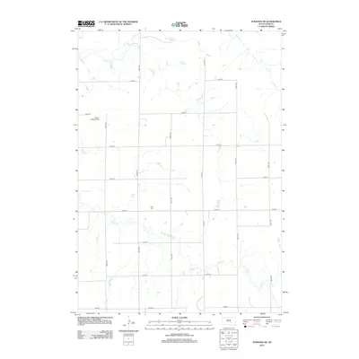
2012 Map of Pukwana NE
USGS Topo · Published 2012About this map
Vega Cem stands as a primary genealogical landmark in this section of Buffalo County, situated along a rural grid of township roads. This area of the South Dakota prairie is defined by the winding drainages of Crow Cr, Smith Cr, and Elm Cr, which carve subtle relief into the agricultural landscape. The map illustrates a contemporary pattern of land use where private aviation and large-scale farming intersect, exemplified by the Mayer Landing Strip located west of 354th Ave. This survey documents the intersection of rural infrastructure, such as 239th St and 356th Ave, providing a precise look at the township's topography and drainage patterns during the early 21st century.
Find a feature on this map
19 named features on this map. Tap any name to fly to it.
Don’t see what you’re looking for? This feature index may not catch every label — zoom into the map to look around manually.
Map Details
Editions of this 2012 Pukwana NE Map
This is the sole edition of this map. No revisions or reprints were ever made.
Other maps of this area

1941 · Pukwana
USGS Topo · 1:62,500

1941 · Kimball North
USGS Topo · 1:62,500

1951 · Pukwana
USGS Topo · 1:62,500

1951 · Kimball North
USGS Topo · 1:62,500

1953 · Huron
USGS Topo · 1:250,000

1954 · Huron
USGS Topo · 1:250,000

1955 · Mitchell
USGS Topo · 1:250,000

1959 · Mitchell
USGS Topo · 1:250,000

1973 · Big Bend Dam 4 SE
USGS Topo · 1:24,000

1973 · Gannvalley
USGS Topo · 1:24,000
Featured Places
- Eldorado Township, SD
- Union Township, SD
- Pershing Township, SD
- Crow Creek District, SD
- Lyon Township, SD