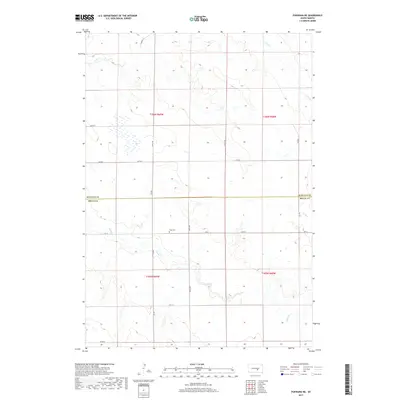
2017 Map of Pukwana NE
USGS Topo · Published 2017About this map
The border of Buffalo and Brule Counties defines the center of this rural landscape in central South Dakota. This region is characterized by the winding paths of Crow Creek in the north and Smith Creek in the south, which drain a series of subtle drainages across the prairie. The map provides precise locations for family-history researchers, most notably the Vega Cem situated along 239 Street. A grid of section roads like 355th Avenue and 359th Avenue divides the land, revealing a pattern of agricultural development and land use as it existed in the mid-2010s. The presence of BIA Road 2 in the west indicates the transition into tribal jurisdictional areas, while local routes like Larsen Lane provide access to the more remote interior sections of the township.
Find a feature on this map
20 named features on this map. Tap any name to fly to it.
Don’t see what you’re looking for? This feature index may not catch every label — zoom into the map to look around manually.
Map Details
Editions of this 2017 Pukwana NE Map
This is the sole edition of this map. No revisions or reprints were ever made.
Other maps of this area

1941 · Pukwana
USGS Topo · 1:62,500

1941 · Kimball North
USGS Topo · 1:62,500

1951 · Pukwana
USGS Topo · 1:62,500

1951 · Kimball North
USGS Topo · 1:62,500

1953 · Huron
USGS Topo · 1:250,000

1954 · Huron
USGS Topo · 1:250,000

1955 · Mitchell
USGS Topo · 1:250,000

1959 · Mitchell
USGS Topo · 1:250,000

1973 · Big Bend Dam 4 SE
USGS Topo · 1:24,000

1973 · Gannvalley
USGS Topo · 1:24,000
Featured Places
- Eldorado Township, SD
- Union Township, SD
- Pershing Township, SD
- Crow Creek District, SD
- Lyon Township, SD