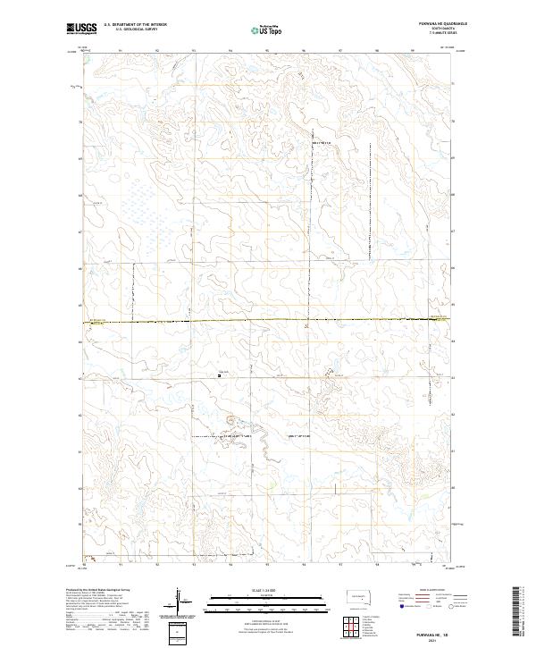
2021 Map of Pukwana NE
USGS Topo · Published 2021About this map
Vega Cem serves as a quiet historical anchor in this sparsely populated stretch of the Great Plains, located just south of the border dividing Buffalo Co and Brule Co. The landscape is defined by the winding paths of Crow Cr in the north and Smith Cr in the south, which cut through the undulating prairie. This 2021 survey reveals a grid of rural infrastructure, where Bureau of Indian Affairs routes like Bia Rd 2 intersect with local section-line roads such as 355 Ave and 237th St. The mapping of these townships, including t106n r69w, illustrates the enduring settlement patterns of central South Dakota, where large-scale ranching and agriculture are organized around these vital watercourses and the simple, functional road network that connects isolated farmsteads.
Find a feature on this map
21 named features on this map. Tap any name to fly to it.
Don’t see what you’re looking for? This feature index may not catch every label — zoom into the map to look around manually.
Map Details
Editions of this 2021 Pukwana NE Map
This is the sole edition of this map. No revisions or reprints were ever made.
Other maps of this area

1941 · Pukwana
USGS Topo · 1:62,500

1941 · Kimball North
USGS Topo · 1:62,500

1951 · Pukwana
USGS Topo · 1:62,500

1951 · Kimball North
USGS Topo · 1:62,500

1953 · Huron
USGS Topo · 1:250,000

1954 · Huron
USGS Topo · 1:250,000

1955 · Mitchell
USGS Topo · 1:250,000

1959 · Mitchell
USGS Topo · 1:250,000

1973 · Big Bend Dam 4 SE
USGS Topo · 1:24,000

1973 · Gannvalley
USGS Topo · 1:24,000
Featured Places
- Eldorado Township, SD
- Union Township, SD
- Pershing Township, SD
- Crow Creek District, SD
- Lyon Township, SD