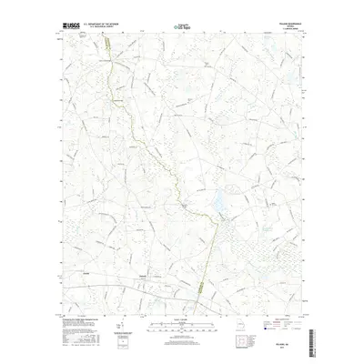
2017 Map of Pulaski
USGS Topo · Published 2017About this map
Pulaski and Parish anchor this rural landscape along the border of Bulloch and Candler counties in southeastern Georgia. The terrain is defined by the winding course of Lotts Cr, which is spanned by several notable crossings including the Lotts Creek Bridge, Longford Bridge, and Hendrix Bridge. This modern survey reveals a patchwork of agricultural lands and wetlands, with numerous family-named roads such as Ben Grady Collins Rd and Harvey Wilson Rd indicating long-established landholdings. Genealogists will find several burial sites preserved in the landscape, including Noahs Ark Cem, Bland Cem, and the Hendrix and Welsh Cem. Smaller water bodies like Holland Pond and the Morf-Stanback Estate Lake further characterize the hydrology of this coastal plain region.
Find a feature on this map
124 named features on this map. Tap any name to fly to it.
Don’t see what you’re looking for? This feature index may not catch every label — zoom into the map to look around manually.
Map Details
Editions of this 2017 Pulaski Map
This is the sole edition of this map. No revisions or reprints were ever made.
Other maps of this area

1920 · Statesboro
USGS Topo · 1:62,500

1921 · Rocky Ford
USGS Topo · 1:62,500

1943 · Rocky Ford
USGS Topo · 1:62,500

1943 · Millen
USGS Topo · 1:125,000

1943 · Statesboro
USGS Topo · 1:62,500

1947 · Savannah
USGS Topo · 1:250,000

1948 · Savannah
USGS Topo · 1:250,000

1957 · Macon
USGS Topo · 1:250,000

1957 · Savannah
USGS Topo · 1:250,000

1958 · Macon
USGS Topo · 1:250,000