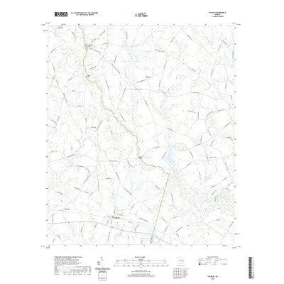
2020 Map of Pulaski
USGS Topo · Published 2020About this map
Pulaski serves as the primary settlement on this landscape where the Candler Co and Bulloch Co lines meet. The terrain is defined by a dense network of hydrologic features, including Lotts Cr and its various tributaries like Watering Hole Br and Crossway Branch. The mapping reveals a rural infrastructure reliant on several key crossings, most notably Longford Bridge and Hendrix Bridge.
Find a feature on this map
117 named features on this map. Tap any name to fly to it.
Don’t see what you’re looking for? This feature index may not catch every label — zoom into the map to look around manually.
Map Details
Editions of this 2020 Pulaski Map
This is the sole edition of this map. No revisions or reprints were ever made.
Other maps of this area

1920 · Statesboro
USGS Topo · 1:62,500

1921 · Rocky Ford
USGS Topo · 1:62,500

1943 · Rocky Ford
USGS Topo · 1:62,500

1943 · Millen
USGS Topo · 1:125,000

1943 · Statesboro
USGS Topo · 1:62,500

1947 · Savannah
USGS Topo · 1:250,000

1948 · Savannah
USGS Topo · 1:250,000

1957 · Macon
USGS Topo · 1:250,000

1957 · Savannah
USGS Topo · 1:250,000

1958 · Macon
USGS Topo · 1:250,000