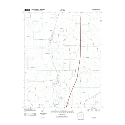
2012 Map of Pulaski
USGS Topo · Published 2012About this map
The Cache River and its intricate drainage network, including Cypress Slough and Pulaski Slough, define the geography of this Southern Illinois landscape. Centered around the village of Pulaski, the area is notable for its high concentration of family and community burial grounds, which offer significant value for genealogical research. These include the Henderson Cem, Rose Hill Cem, and the extensive Green Lawn Memorial Gardens. To the south, the settlement of Villa Ridge sits near a cluster of historic sites such as Mount Calvary Cem and the Cairo City Cem. The map documents the rural road network and the creek systems of Sow Cr and Boar Cr, illustrating the layout of agricultural tracts and small communities like Pryortown and Spencer Heights in the early 21st century.
Find a feature on this map
106 named features on this map. Tap any name to fly to it.
Don’t see what you’re looking for? This feature index may not catch every label — zoom into the map to look around manually.
Map Details
Editions of this 2012 Pulaski Map
This is the sole edition of this map. No revisions or reprints were ever made.
Other maps of this area

1920 · Jonesboro
USGS Topo · 1:62,500

1920 · Dongola
USGS Topo · 1:62,500

1923 · Dongola
USGS Topo · 1:62,500

1923 · Jonesboro
USGS Topo · 1:62,500

1931 · Cairo
USGS Topo · 1:62,500

1933 · Cairo
USGS Topo · 1:62,500

1934 · Thebes
USGS Topo · 1:62,500

1939 · Cairo
USGS Topo · 1:62,500

1939 · Thebes
USGS Topo · 1:62,500

1947 · Jonesboro
USGS Topo · 1:62,500