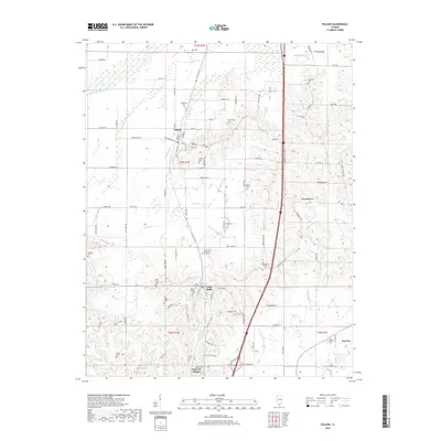
2018 Map of Pulaski
USGS Topo · Published 2018About this map
Pulaski and Villa Ridge serve as the primary population centers on this southern Illinois landscape, situated amidst a complex network of wetlands and drainage patterns. The northern boundary is defined by the Cache River, while the southern reaches feature the winding Pulaski Slough and Cypress Slough. A dense concentration of burial sites, including the Rose Hill Cem, Mount Calvary Cem, and New Shiloh Cem, provides significant value for genealogists tracing family histories in the region.
Find a feature on this map
106 named features on this map. Tap any name to fly to it.
Don’t see what you’re looking for? This feature index may not catch every label — zoom into the map to look around manually.
Map Details
Editions of this 2018 Pulaski Map
This is the sole edition of this map. No revisions or reprints were ever made.
Other maps of this area
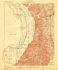
1920 · Jonesboro
USGS Topo · 1:62,500
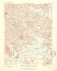
1920 · Dongola
USGS Topo · 1:62,500
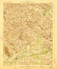
1923 · Dongola
USGS Topo · 1:62,500
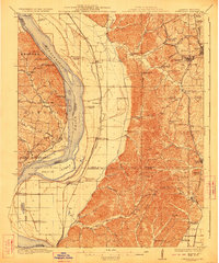
1923 · Jonesboro
USGS Topo · 1:62,500
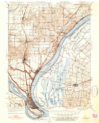
1931 · Cairo
USGS Topo · 1:62,500
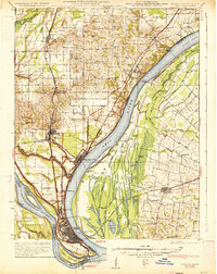
1933 · Cairo
USGS Topo · 1:62,500
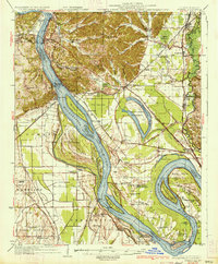
1934 · Thebes
USGS Topo · 1:62,500
1939 · Cairo
USGS Topo · 1:62,500
1939 · Thebes
USGS Topo · 1:62,500
1947 · Jonesboro
USGS Topo · 1:62,500