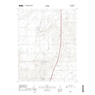
2021 Map of Pulaski
USGS Topo · Published 2021About this map
Pulaski and the neighboring community of Villa Ridge serve as the primary hubs in this southern Illinois landscape, characterized by a complex network of wetlands and creeks. The hydrology is dominated by the Cache River to the north, which feeds into a series of drainages including Cypress Slough, Pulaski Slough, and Briar Cr. This environment shaped the local settlement patterns, with development clustered on higher ground between the frequent watercourses. Genealogical researchers will find an exceptionally dense concentration of burial sites, ranging from the large Cairo City Cem and Calvary Cem near Villa Ridge to smaller, family-named locations such as Mize Cem, Henderson Cem, and the King - McNeil Cem. The transition from the rural outskirts of Pryortown to the residential blocks of Spencer Heights illustrates the varying scales of community growth within the county during the early 21st century.
Find a feature on this map
95 named features on this map. Tap any name to fly to it.
Don’t see what you’re looking for? This feature index may not catch every label — zoom into the map to look around manually.
Map Details
Editions of this 2021 Pulaski Map
This is the sole edition of this map. No revisions or reprints were ever made.
Other maps of this area

1920 · Jonesboro
USGS Topo · 1:62,500

1920 · Dongola
USGS Topo · 1:62,500

1923 · Dongola
USGS Topo · 1:62,500

1923 · Jonesboro
USGS Topo · 1:62,500

1931 · Cairo
USGS Topo · 1:62,500

1933 · Cairo
USGS Topo · 1:62,500

1934 · Thebes
USGS Topo · 1:62,500

1939 · Cairo
USGS Topo · 1:62,500

1939 · Thebes
USGS Topo · 1:62,500

1947 · Jonesboro
USGS Topo · 1:62,500