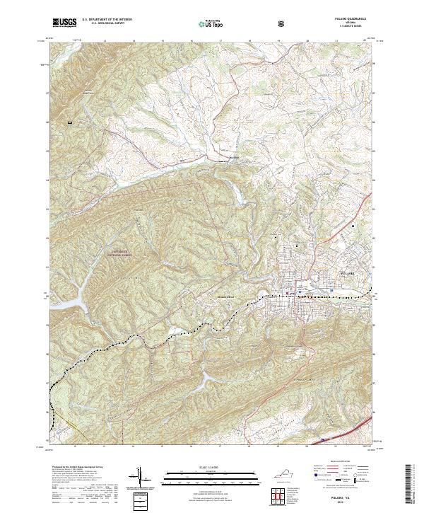
2022 Map of Pulaski
USGS Topo · Published 2022About this map
The Pulaski County Courthouse serves as the focal point for this Southwest Virginia industrial and transport hub, where the town of Pulaski sits at the base of Draper Mtn. The landscape is defined by the sharp transition from the dense street grid of the town center to the vast protected reaches of the Jefferson National Forest to the west. Significant local heritage is preserved at sites like Pinehurst Cem and Oakwood Cem, while the outlying settlements of Weldon and Mount Olivet illustrate the rural expansion into the surrounding ridges. The complex drainage of the region is evident in the paths of Peak Creek and Tract Fork, which navigate between prominent elevations like Caseknife Ridge and Chestnut Mtn, reflecting the area's history of managing difficult terrain for settlement and transit.
Find a feature on this map
143 named features on this map. Tap any name to fly to it.
Don’t see what you’re looking for? This feature index may not catch every label — zoom into the map to look around manually.
Map Details
Editions of this 2022 Pulaski Map
This is the sole edition of this map. No revisions or reprints were ever made.
Other maps of this area

1889 · Hillsville
USGS Topo · 1:125,000

1890 · Dublin
USGS Topo · 1:125,000

1891 · Dublin
USGS Topo · 1:125,000

1892 · Hillsville
USGS Topo · 1:125,000

1896 · Hillsville
USGS Topo · 1:125,000

1930 · Max Meadows
USGS Topo · 1:62,500

1934 · Pulaski
USGS Topo · 1:48,000

1940 · Pulaski
USGS Topo · 1:62,500

1950 · Radford
USGS Topo · 1:62,500

1953 · Winston-Salem
USGS Topo · 1:250,000