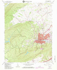
1965 Map of Pulaski
USGS Topo · Published 1984About this map
Pulaski serves as the industrial and commercial hub of this 1960s survey, defined by its dense residential grid and the prominent route of the Norfolk and Western railway. The town is surrounded by a complex landscape of ridges including Caseknife Ridge and Draper Mountain, while the northern reaches are dominated by the Jefferson National Forest. This era of development is marked by the presence of numerous local institutions like Dora Hi Sch, Claremont Sch, and the local Hospital.
Find a feature on this map
99 named features on this map. Tap any name to fly to it.
Don’t see what you’re looking for? This feature index may not catch every label — zoom into the map to look around manually.
Map Details
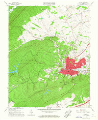
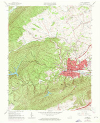
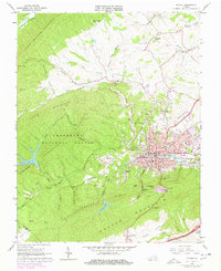
Editions of this 1965 Pulaski Map
4 editions found
Other maps of this area

1889 · Hillsville
USGS Topo · 1:125,000

1890 · Dublin
USGS Topo · 1:125,000

1891 · Dublin
USGS Topo · 1:125,000

1892 · Hillsville
USGS Topo · 1:125,000

1896 · Hillsville
USGS Topo · 1:125,000

1930 · Max Meadows
USGS Topo · 1:62,500

1934 · Pulaski
USGS Topo · 1:48,000

1940 · Pulaski
USGS Topo · 1:62,500

1950 · Radford
USGS Topo · 1:62,500

1953 · Winston-Salem
USGS Topo · 1:250,000