
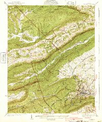
1940 Map of Pulaski
USGS Topo · Published 1940About this map
Pulaski serves as the industrial and transportation anchor of this region, situated where the Norfolk and Western railway and the Lee Highway intersect. The surrounding terrain is defined by a series of parallel ridges including Walker Mountain and Draper Mountain, which dictate the placement of small rural communities and mountain passes. The landscape shows a mix of agricultural valleys and industrial activity, evidenced by the Stange Mines in the north and the Empire Mine further south.
Find a feature on this map
102 named features on this map. Tap any name to fly to it.
Don’t see what you’re looking for? This feature index may not catch every label — zoom into the map to look around manually.
Map Details
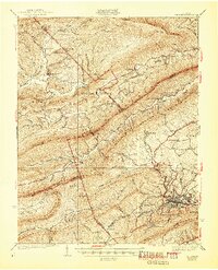
Editions of this 1940 Pulaski Map
3 editions found
Other maps of this area

1887 · Pocahontas
USGS Topo · 1:125,000

1889 · Hillsville
USGS Topo · 1:125,000

1889 · Wytheville
USGS Topo · 1:125,000

1890 · Dublin
USGS Topo · 1:125,000

1891 · Pocahontas
USGS Topo · 1:125,000

1891 · Dublin
USGS Topo · 1:125,000

1892 · Hillsville
USGS Topo · 1:125,000

1892 · Wytheville
USGS Topo · 1:125,000

1894 · Pocahontas
USGS Topo · 1:125,000

1895 · Pocahontas
USGS Topo · 1:125,000