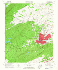
1965 Map of Pulaski
USGS Topo · Published 1967About this map
The town of Pulaski serves as the industrial and civic heart of this mid-1960s landscape, defined by its position along the Norfolk and Western rail line and the base of Draper Mountain. The map illustrates a dense urban grid including the Courthouse, Calfee Park, and numerous neighborhood schools such as Northwood Sch and Claremont Sch. To the west, the topography rises sharply into the Jefferson National Forest, where Tract Mountain and Caseknife Ridge dominate the terrain. A notable industrial legacy is visible in the north at the Empire Mine and a local Quarry, while the Gatewood Reservoir and Hogan Lake indicate the importance of water management for the growing community. Smaller outlying settlements like Slabtown and Beaufort provide a contrast to the concentrated activity in the town center.
Find a feature on this map
99 named features on this map. Tap any name to fly to it.
Don’t see what you’re looking for? This feature index may not catch every label — zoom into the map to look around manually.
Map Details
Editions of this 1965 Pulaski Map
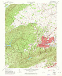
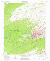
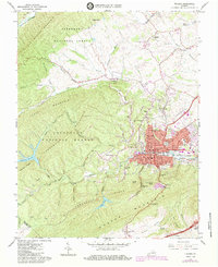
4 editions found
Other maps of this area

1889 · Hillsville
USGS Topo · 1:125,000

1890 · Dublin
USGS Topo · 1:125,000

1891 · Dublin
USGS Topo · 1:125,000

1892 · Hillsville
USGS Topo · 1:125,000

1896 · Hillsville
USGS Topo · 1:125,000

1930 · Max Meadows
USGS Topo · 1:62,500

1934 · Pulaski
USGS Topo · 1:48,000

1940 · Pulaski
USGS Topo · 1:62,500

1950 · Radford
USGS Topo · 1:62,500

1953 · Winston-Salem
USGS Topo · 1:250,000