
1950 Map of Radford
USGS Topo · Published 1952About this map
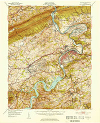
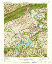
Claytor Lake dominates the southern landscape of this mid-century survey, its fingers reaching into the valleys of Pulaski County following the construction of the Claytor Dam. Along the bends of the New River, the massive Radford Arsenal and the U.S. Military Reservation represent a significant industrial and military presence near the city of Radford. The infrastructure of the era is clearly defined by the Norfolk and Western and Virginian railroads, which parallel the river's course through the gap between Walker Mountain and Brush Mountain.
Find a feature on this map
105 named features on this map. Tap any name to fly to it.
Don’t see what you’re looking for? This feature index may not catch every label — zoom into the map to look around manually.
Map Details
Editions of this 1950 Radford Map
3 editions found
Other maps of this area

1889 · Hillsville
USGS Topo · 1:125,000

1890 · Dublin
USGS Topo · 1:125,000

1890 · Christiansburg
USGS Topo · 1:125,000

1891 · Dublin
USGS Topo · 1:125,000

1892 · Hillsville
USGS Topo · 1:125,000

1896 · Hillsville
USGS Topo · 1:125,000

1913 · Peterstown
USGS Topo · 1:48,000

1916 · Peterstown
USGS Topo · 1:62,500

1923 · Pearisburg
USGS Topo · 1:62,500

1923 · Waiteville
USGS Topo · 1:62,500