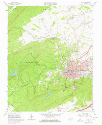
1965 Map of Pulaski
USGS Topo · Published 1978About this map
The town of Pulaski sits at the heart of this mid-1960s survey, showing a developed industrial and residential hub at the foot of Caseknife Ridge. The Norfolk and Western railway cuts through the center of town, anchoring a landscape shaped by both industry and topography, including the Empire Mine to the north. Local civic life is well-documented through numerous institutions like Northwood Sch, Oakwood Cemetery, and the Courthouse.
Find a feature on this map
101 named features on this map. Tap any name to fly to it.
Don’t see what you’re looking for? This feature index may not catch every label — zoom into the map to look around manually.
Map Details
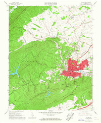
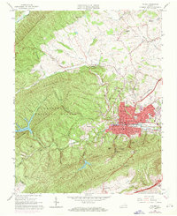
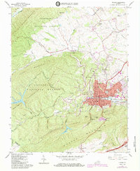
Editions of this 1965 Pulaski Map
4 editions found
Other maps of this area

1889 · Hillsville
USGS Topo · 1:125,000

1890 · Dublin
USGS Topo · 1:125,000

1891 · Dublin
USGS Topo · 1:125,000

1892 · Hillsville
USGS Topo · 1:125,000

1896 · Hillsville
USGS Topo · 1:125,000

1930 · Max Meadows
USGS Topo · 1:62,500

1934 · Pulaski
USGS Topo · 1:48,000

1940 · Pulaski
USGS Topo · 1:62,500

1950 · Radford
USGS Topo · 1:62,500

1953 · Winston-Salem
USGS Topo · 1:250,000