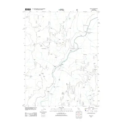
2012 Map of Pulga
USGS Topo · Published 2012About this map
The N Fork Feather River carves a deep canyon through this portion of Butte County, serving as the primary corridor for both infrastructure and industrial development. The landscape is defined by the heavy presence of hydroelectric and transit engineering, including the Cresta Powerhouse, Camp Creek Powerhouse, and the Cresta Tunnel. Transportation through the steep terrain is facilitated by a series of rail tunnels, from Tunnel Number Nine to Tunnel Number Thirteen, which follow the river's winding course. Small settlements and specialized camps such as Pulga, Mayaro, and Cresta cling to the canyon walls and riverbanks. Further from the river, the map reveals ranching and rural outposts like Pine Cluster Ranch and Johnson Cabin, alongside natural landmarks such as Arch Rock and the high point of Big Bar Mountain.
Find a feature on this map
63 named features on this map. Tap any name to fly to it.
Don’t see what you’re looking for? This feature index may not catch every label — zoom into the map to look around manually.
Map Details
Editions of this 2012 Pulga Map
This is the sole edition of this map. No revisions or reprints were ever made.
Other maps of this area
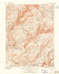
1888 · Bidwell Bar
USGS Topo · 1:125,000
1891 · Bidwell Bar
USGS Topo · 1:125,000
1891 · Chico
USGS Topo · 1:125,000
1893 · Chico
USGS Topo · 1:125,000
1893 · Bidwell Bar
USGS Topo · 1:125,000
1895 · Bidwell Bar
USGS Topo · 1:125,000
1895 · Chico
USGS Topo · 1:125,000
1897 · Bidwell Bar
USGS Topo · 1:125,000
1942 · Oroville
USGS Topo · 1:62,500
1944 · Oroville
USGS Topo · 1:62,500