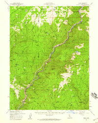
1957 Map of Pulga
USGS Topo · Published 1959About this map
The Western Pacific railroad snakes through the Feather River Canyon, connecting small riverside settlements such as Pulga, Cresta, and Mayaro. This 1957 survey highlights the mid-century development of hydroelectric power along the river, with prominent facilities including the Rock Creek Powerhouse, Bucks Creek Powerhouse, and Cresta Powerhouse punctuating the narrow valley. The surrounding terrain is a mix of the Lassen National Forest and Plumas National Forest, where fire lookouts like the Bear Ranch Hill Lookout and Big Bar Mtn Lookout stand watch over the timbered ridges.
Find a feature on this map
135 named features on this map. Tap any name to fly to it.
Don’t see what you’re looking for? This feature index may not catch every label — zoom into the map to look around manually.
Map Details
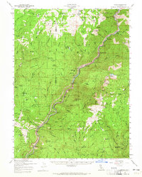
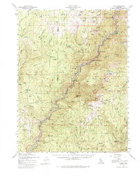
Editions of this 1957 Pulga Map
3 editions found
Other maps of this area

1886 · Lassen Peak
USGS Topo · 1:250,000

1888 · Bidwell Bar
USGS Topo · 1:125,000

1891 · Bidwell Bar
USGS Topo · 1:125,000

1891 · Chico
USGS Topo · 1:125,000

1892 · Lassen Peak
USGS Topo · 1:250,000

1893 · Chico
USGS Topo · 1:125,000

1893 · Bidwell Bar
USGS Topo · 1:125,000

1894 · Lassen Peak
USGS Topo · 1:250,000

1895 · Bidwell Bar
USGS Topo · 1:125,000

1895 · Chico
USGS Topo · 1:125,000