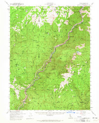
1957 Map of Pulga
USGS Topo · Published 1965About this map
Feather River canyon serves as the industrial and transit spine of this mid-century survey, where the Western Pacific railroad and the Pacific Highway cling to the steep walls of the North Fork. The map records a massive era of hydroelectric expansion, specifically noting Poe Dam (Under Const) and the Poe Powerhouse, alongside established facilities like the Rock Creek Powerhouse and Bucks Creek Powerhouse. These engineering feats are set against the backdrop of the Lassen and Plumas National Forests, where remote outposts like Johnson Cabin and Pine Cluster Ranch provide evidence of earlier mountain settlement. Between the river and the peaks, small communities and camps such as Pulga, Storrie, and Injun Jim Campground reveal a landscape defined by both heavy infrastructure and rugged outdoor recreation.
Find a feature on this map
111 named features on this map. Tap any name to fly to it.
Don’t see what you’re looking for? This feature index may not catch every label — zoom into the map to look around manually.
Map Details
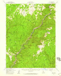
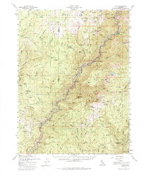
Editions of this 1957 Pulga Map
3 editions found
Other maps of this area

1886 · Lassen Peak
USGS Topo · 1:250,000

1888 · Bidwell Bar
USGS Topo · 1:125,000

1891 · Bidwell Bar
USGS Topo · 1:125,000

1891 · Chico
USGS Topo · 1:125,000

1892 · Lassen Peak
USGS Topo · 1:250,000

1893 · Chico
USGS Topo · 1:125,000

1893 · Bidwell Bar
USGS Topo · 1:125,000

1894 · Lassen Peak
USGS Topo · 1:250,000

1895 · Bidwell Bar
USGS Topo · 1:125,000

1895 · Chico
USGS Topo · 1:125,000