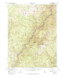
1957 Map of Pulga
USGS Topo · Published 1980About this map
The Western Pacific RR follows the steep canyon of the North Fork Feather River, a vital transport corridor that defines the industrial and recreational landscape of this region. Hydroelectric infrastructure is prominent along the waterway, including the Bucks Creek Powerhouse and Cresta Powerhouse. These facilities, managed alongside the Lassen National Forest and Plumas National Forest, illustrate the mid-century balance between resource extraction and land management.
Find a feature on this map
136 named features on this map. Tap any name to fly to it.
Don’t see what you’re looking for? This feature index may not catch every label — zoom into the map to look around manually.
Map Details
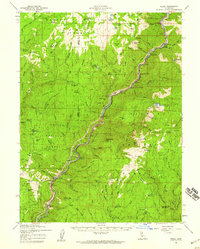
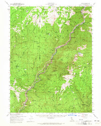
Editions of this 1957 Pulga Map
3 editions found
Other maps of this area

1886 · Lassen Peak
USGS Topo · 1:250,000

1888 · Bidwell Bar
USGS Topo · 1:125,000

1891 · Bidwell Bar
USGS Topo · 1:125,000

1891 · Chico
USGS Topo · 1:125,000

1892 · Lassen Peak
USGS Topo · 1:250,000

1893 · Chico
USGS Topo · 1:125,000

1893 · Bidwell Bar
USGS Topo · 1:125,000

1894 · Lassen Peak
USGS Topo · 1:250,000

1895 · Bidwell Bar
USGS Topo · 1:125,000

1895 · Chico
USGS Topo · 1:125,000