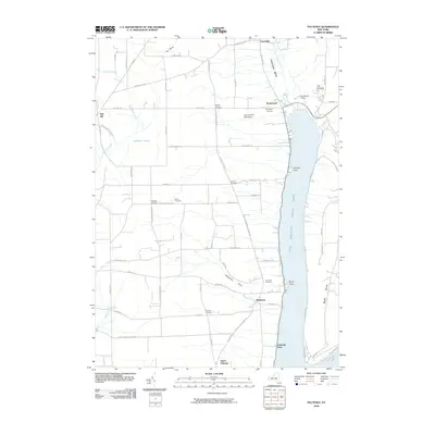
2010 Map of Pulteney
USGS Topo · Published 2010About this map
The West Branch Keuka Lake shoreline dominates this landscape, defining the character of lakeside hamlets and agricultural uplands. Settled points like Branchport and Pulteney serve as anchors along the water, while the interior is marked by the deep Guyanoga Valley and the prominent height of The Pinnacle. The map reveals a deeply rooted viticultural and agricultural heritage, specifically noting the Hunt Country Vineyards near Branchport Cemetery. Genealogists will find significant value in the dispersed burial grounds, including Pelton Cemetery and Glenview Cemetery, which are tucked away near the narrow ravines of Wagener Glen. The terrain transitions from the low-lying Jubertown Swamp to the steep bluffs at Chidsey Point, illustrating the varied topography of the Finger Lakes region as it appeared in the early 21st century.
Find a feature on this map
74 named features on this map. Tap any name to fly to it.
Don’t see what you’re looking for? This feature index may not catch every label — zoom into the map to look around manually.
Map Details
Editions of this 2010 Pulteney Map
This is the sole edition of this map. No revisions or reprints were ever made.
Other maps of this area

1900 · Naples
USGS Topo · 1:62,500

1903 · Naples
USGS Topo · 1:62,500

1903 · Penn Yan
USGS Topo · 1:62,500

1903 · Hammondsport
USGS Topo · 1:62,500

1910 · Bath
USGS Topo · 1:62,500

1913 · Naples
USGS Topo · 1:62,500

1942 · Prattsburg
USGS Topo · 1:31,680

1942 · Penn Yan
USGS Topo · 1:31,680

1942 · Pulteney
USGS Topo · 1:31,680

1942 · Middlesex
USGS Topo · 1:31,680