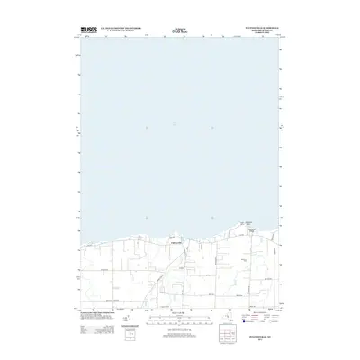
2013 Map of Pultneyville
USGS Topo · Published 2013About this map
Pultneyville sits on the southern shoreline of Lake Ontario, anchoring a landscape defined by its agricultural heritage and lakeside geography. The area is heavily marked by its fruit-growing economy, with several large operations such as Orbakers Fruit Farm, Lagoner Farms, and Noto Fruit Farm stretching across the countryside. The presence of Lakeview Cem near the village center provides a touchstone for genealogical research in this coastal community.
Find a feature on this map
35 named features on this map. Tap any name to fly to it.
Don’t see what you’re looking for? This feature index may not catch every label — zoom into the map to look around manually.
Map Details
Editions of this 2013 Pultneyville Map
This is the sole edition of this map. No revisions or reprints were ever made.
Other maps of this area

1899 · Palmyra
USGS Topo · 1:62,500

1900 · Macedon
USGS Topo · 1:62,500

1902 · Pultneyville
USGS Topo · 1:62,500

1902 · Palmyra
USGS Topo · 1:62,500

1942 · Ontario
USGS Topo · 1:31,680

1942 · Pultneyville
USGS Topo · 1:31,680

1943 · Williamson
USGS Topo · 1:31,680

1943 · Sodus
USGS Topo · 1:31,680
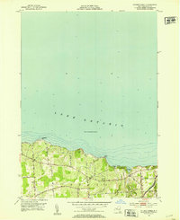
1952 · Salmon Creek
USGS Topo · 1:24,000
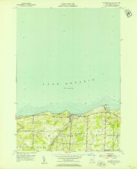
1952 · Pultneyville
USGS Topo · 1:24,000