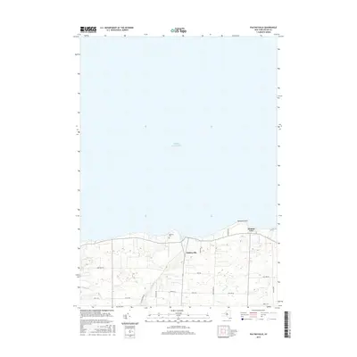
2016 Map of Pultneyville
USGS Topo · Published 2016About this map
Pultneyville sits prominently along the shoreline of Lake Ontario in this modern topographic study of Wayne County. The settlement pattern remains oriented toward the water, with Holland Cove and Fairbanks Point defining the coastal geography. Inland, the terrain is shaped by the drainages of Salmon Creek and Mink Creek, which cut through a landscape of orchards and small farms. For genealogists and local historians, the Lakeview Cemetery serves as a significant landmark just west of the main village center.
Find a feature on this map
23 named features on this map. Tap any name to fly to it.
Don’t see what you’re looking for? This feature index may not catch every label — zoom into the map to look around manually.
Map Details
Editions of this 2016 Pultneyville Map
This is the sole edition of this map. No revisions or reprints were ever made.
Other maps of this area

1899 · Palmyra
USGS Topo · 1:62,500

1900 · Macedon
USGS Topo · 1:62,500

1902 · Pultneyville
USGS Topo · 1:62,500

1902 · Palmyra
USGS Topo · 1:62,500

1942 · Ontario
USGS Topo · 1:31,680

1942 · Pultneyville
USGS Topo · 1:31,680

1943 · Williamson
USGS Topo · 1:31,680

1943 · Sodus
USGS Topo · 1:31,680
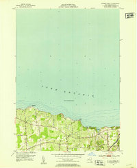
1952 · Salmon Creek
USGS Topo · 1:24,000
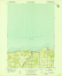
1952 · Pultneyville
USGS Topo · 1:24,000