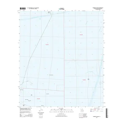
2015 Map of Pumpkin Islands
USGS Topo · Published 2015About this map
Pumpkin Islands and the surrounding marshlands of Vermilion Parish define this coastal Louisiana landscape, where a complex network of waterways and ridges dictates the pattern of human activity. The presence of Schooner Bayou Canal and the Freshwater Bayou Canal highlights the region's reliance on maritime navigation and drainage engineering. These man-made features intersect with natural formations like Hackberry Bayou and the North Prong of Belle Isle Bayou, illustrating the continuous modification of the wetlands.
Find a feature on this map
22 named features on this map. Tap any name to fly to it.
Don’t see what you’re looking for? This feature index may not catch every label — zoom into the map to look around manually.
Map Details
Editions of this 2015 Pumpkin Islands Map
This is the sole edition of this map. No revisions or reprints were ever made.
Other maps of this area

1932 · Abbeville SW
USGS Topo · 1:31,680

1932 · Pecan Island SE
USGS Topo · 1:31,680

1932 · Pecan Island SW
USGS Topo · 1:31,680

1945 · Pecan Island NW
USGS Topo · 1:31,680

1945 · Pecan Island NE
USGS Topo · 1:31,680

1946 · Redfish Point SW
USGS Topo · 1:31,680

1946 · Schooner Bayou SE
USGS Topo · 1:31,680

1946 · Redfish Point NW
USGS Topo · 1:31,680

1946 · Schooner Bayou SW
USGS Topo · 1:31,680

1951 · Pecan Island
USGS Topo · 1:62,500