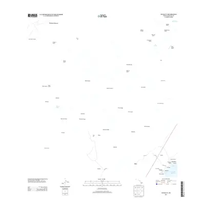
2013 Map of Punaluu
USGS Topo · Published 2013About this map
The Pacific Ocean coast of the Island of Hawaii meets a landscape defined by volcanic history and plantation-era footprints on this 2013 survey. The southeastern shore is marked by Punalu'u Harbor and Punalu'u Beach, while the inland slopes are etched with numerous ravines and gulches like Moa'ula Gulch and Nānu'amai'a Gulch. Remnants of the region's agricultural and labor history are evident in the placement of Higashi Camp and Lower Moaula Camp, alongside the isolated Mountain House.
Find a feature on this map
58 named features on this map. Tap any name to fly to it.
Don’t see what you’re looking for? This feature index may not catch every label — zoom into the map to look around manually.
Map Details
Editions of this 2013 Punaluu Map
This is the sole edition of this map. No revisions or reprints were ever made.
Other maps of this area

1921 · Kilauea
USGS Topo · 1:62,500

1923 · Pahala
USGS Topo · 1:62,500

1924 · Kilauea
USGS Topo · 1:62,500

1924 · Honuapo
USGS Topo · 1:62,500

1928 · Mauna Loa
USGS Topo · 1:62,500

1954 · Hawaii South
USGS Topo · 1:250,000

1959 · Hawaii South
USGS Topo · 1:250,000

1961 · Hawaii South
USGS Topo · 1:250,000

1962 · Hawaii South
USGS Topo · 1:250,000

1962 · Kahuku Ranch
USGS Topo · 1:24,000