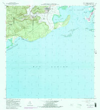
1966 Map of Punta Verraco
USGS Topo · Published 1982About this map
Bosque Estatal de Guanica dominates the western coastline of this 1966 topographic survey, preserving a significant stretch of dry forest and littoral landscape before the development of the late 20th century. Along the northern edge, the Río Yauco meanders through agricultural lands near Barrio Indios, reflecting the traditional rural character of the region. The map captures the industrial importance of the Central San Francisco sugar mill, a vital economic hub for the surrounding barrios of Boca and Barina.
Find a feature on this map
34 named features on this map. Tap any name to fly to it.
Don’t see what you’re looking for? This feature index may not catch every label — zoom into the map to look around manually.
Map Details
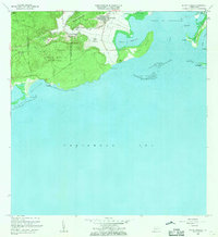
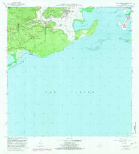
Editions of this 1966 Punta Verraco Map
3 editions found
Other maps of this area

1937 · Sabana Grande
USGS Topo · 1:25,000

1938 · Guanica
USGS Topo · 1:30,000

1941 · Sabana Grande
USGS Topo · 1:30,000

1946 · Punta Cuchara
USGS Topo · 1:30,000

1946 · Yauco
USGS Topo · 1:30,000

1946 · Punta Verraco
USGS Topo · 1:30,000

1946 · Penuelas
USGS Topo · 1:30,000
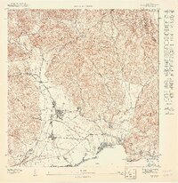
1947 · Yauco SE
USGS Topo · 1:10,000
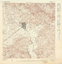
1947 · Yauco SO
USGS Topo · 1:10,000
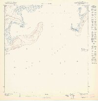
1947 · Punta Verraco NE
USGS Topo · 1:10,000