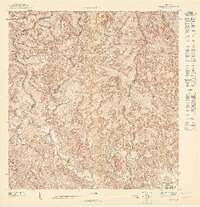
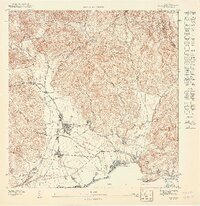
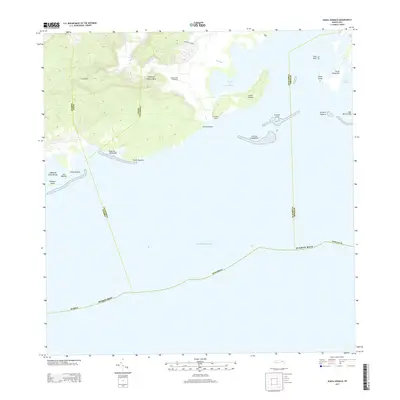
1958 Map of Punta Verraco
USGS Topo · Published 1960About this map
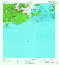
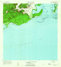
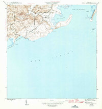
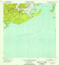
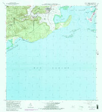
Central San Francisco anchors the industrial and agricultural landscape of this coastal region, situated just north of the protective harbor at Puerto de Guayanilla. The map reveals a transition from the agricultural lowlands near the mouth of the Río Yauco to the steep, undeveloped hills of Susua Baja and the coastal mangroves. Local educational and social hubs are present at the Escuela Arturo Lluberas and the residential cluster of Barrio Indio. Along the southern shoreline, the geography is defined by a complex network of reefs and small islands, including Arrecife Guayanilla and Cayo Maria Langa, which buffer the Bahía de la Ballena. This 1958 revision shows the maritime importance of the area, from the sandy Playa de Tamarindo to the deep-water sounds of the Caribbean Sea.
Find a feature on this map
30 named features on this map. Tap any name to fly to it.
Don’t see what you’re looking for? This feature index may not catch every label — zoom into the map to look around manually.
Map Details
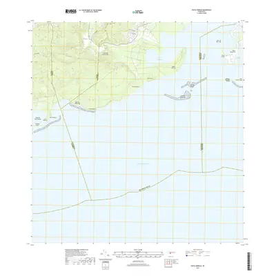
Editions of this 1958 Punta Verraco Map
2 editions found
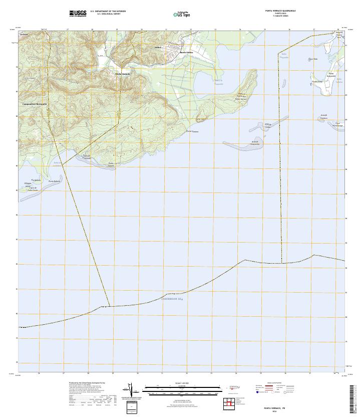
Historical Maps of Yauco Through Time
10 maps found
1946 Punta Verraco
Guayanilla Municipio, PR
1947 Punta Verraco NE
Guayanilla Municipio, PR
1947 Yauco NE
Guayanilla Municipio, PR
1947 Yauco SE
Guayanilla Municipio, PR
1952 Punta Verraco
Guayanilla Municipio, PR
1958 Punta Verraco
Guayanilla Municipio, PR
1966 Punta Verraco
Guayanilla Municipio, PR
2013 Punta Verraco
Guayanilla Municipio, PR
2018 Punta Verraco
Guayanilla Municipio, PR
2024 Punta Verraco
Guayanilla Municipio, PR