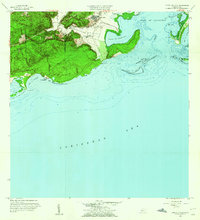
1958 Map of Punta Verraco
USGS Topo · Published 1960About this map
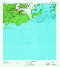
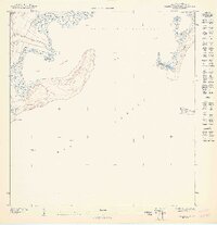
Central San Francisco stands as a prominent industrial landmark on this coastal survey, reflecting the sugar processing heritage of the southern coast. The landscape is defined by the dramatic peninsula of Punta Verraco, which separates the Bahía de Guayanilla from the open Caribbean Sea. This 1958 revision shows a blend of rural settlement and coastal utility, with Barrio Indio tucked near the banks of the Río Yauco as it meets the sea. Coastal features are recorded with high precision, including the reefs at Arrecife Guayanilla and small islands like Cayo Maria Langa. The inland hills are dotted with local institutions like the Escuela Arturo Lluberas and Campamento Borinquen, providing a clear look at the community structure during the mid-century era of the Commonwealth.
Find a feature on this map
24 named features on this map. Tap any name to fly to it.
Don’t see what you’re looking for? This feature index may not catch every label — zoom into the map to look around manually.
Map Details
Editions of this 1958 Punta Verraco Map
2 editions found
Other maps of this area

1937 · Sabana Grande
USGS Topo · 1:25,000

1938 · Guanica
USGS Topo · 1:30,000

1941 · Sabana Grande
USGS Topo · 1:30,000

1946 · Punta Cuchara
USGS Topo · 1:30,000

1946 · Yauco
USGS Topo · 1:30,000

1946 · Punta Verraco
USGS Topo · 1:30,000

1946 · Penuelas
USGS Topo · 1:30,000
1947 · Yauco SE
USGS Topo · 1:10,000
1947 · Yauco SO
USGS Topo · 1:10,000
1947 · Punta Verraco NE
USGS Topo · 1:10,000