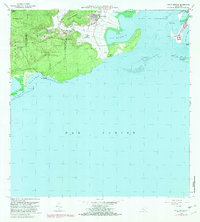
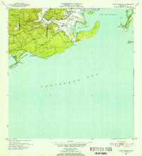
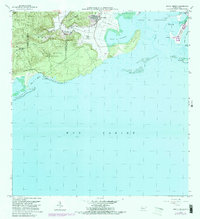
1966 Map of Punta Verraco
USGS Topo · Published 1982About this map
Central San Francisco and the nearby Escuela Arturo Lluberas anchor the coastal lowlands where the Rio Yauco meets the sea. This landscape is defined by the contrast between industrial development and preservation, featuring a Refineria de Petroleo Foso de Cieno near the Bahia de Tallaboa and the protected terrain of the Bosque Estatal De Guanica.
Find a feature on this map
42 named features on this map. Tap any name to fly to it.
Don’t see what you’re looking for? This feature index may not catch every label — zoom into the map to look around manually.
Map Details
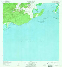
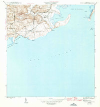
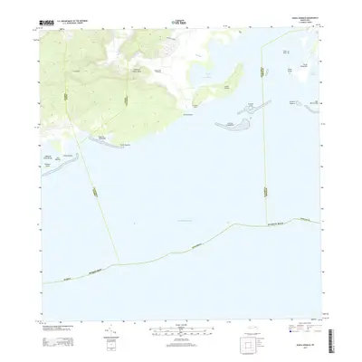
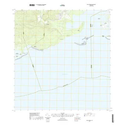
Editions of this 1966 Punta Verraco Map
3 editions found
Historical Maps of Yauco Through Time
10 maps found
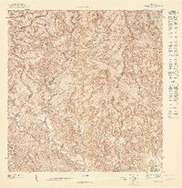
1946 Punta Verraco
Guayanilla Municipio, PR
1947 Punta Verraco NE
Guayanilla Municipio, PR
1947 Yauco NE
Guayanilla Municipio, PR
1947 Yauco SE
Guayanilla Municipio, PR
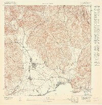
1952 Punta Verraco
Guayanilla Municipio, PR
1958 Punta Verraco
Guayanilla Municipio, PR
1966 Punta Verraco
Guayanilla Municipio, PR
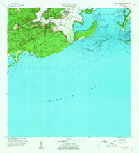
2013 Punta Verraco
Guayanilla Municipio, PR
2018 Punta Verraco
Guayanilla Municipio, PR
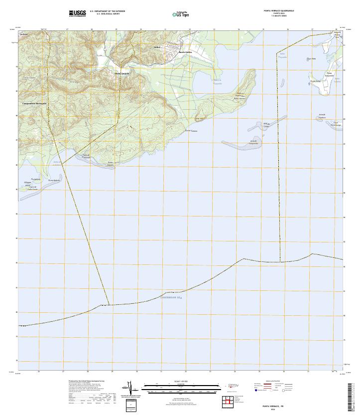
2024 Punta Verraco
Guayanilla Municipio, PR