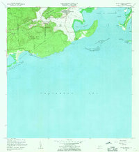
1966 Map of Punta Verraco
USGS Topo · Published 1969About this map
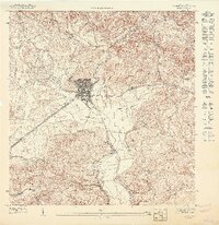
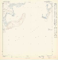
Central San Francisco and the surrounding agricultural lands of Barrio Indios anchor this coastal landscape in the mid-1960s. The region is defined by the sharp transition between the dense, protected forest of Bosque Estatal de Guanica and the industrializing shoreline of Bahia de Guayanilla. This coastal survey documents a period of significant development, capturing the Refineria de Petroleo Foso de Quema near the water's edge, contrasting with the traditional rural life at Media Quijada and the Escuela Arturo Lluberas. Along the Caribbean coast, intricate coral systems and islets like Cayos de Caña Gorda and Arrecife Guayanilla protect the deep harbor, while the Rio Yauco feeds into the bay near the municipal boundary lines. Local landmarks like Campamento Borinquen and the Faro provide fixed points for navigating the diverse terrain of Montes de Barina.
Find a feature on this map
41 named features on this map. Tap any name to fly to it.
Don’t see what you’re looking for? This feature index may not catch every label — zoom into the map to look around manually.
Map Details
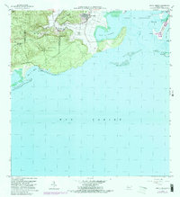
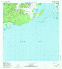
Editions of this 1966 Punta Verraco Map
3 editions found
Other maps of this area

1937 · Sabana Grande
USGS Topo · 1:25,000

1938 · Guanica
USGS Topo · 1:30,000

1941 · Sabana Grande
USGS Topo · 1:30,000

1946 · Punta Cuchara
USGS Topo · 1:30,000

1946 · Yauco
USGS Topo · 1:30,000

1946 · Punta Verraco
USGS Topo · 1:30,000

1946 · Penuelas
USGS Topo · 1:30,000
1947 · Yauco SE
USGS Topo · 1:10,000
1947 · Yauco SO
USGS Topo · 1:10,000
1947 · Punta Verraco NE
USGS Topo · 1:10,000